File:Calvert County Maryland Incorporated and Unincorporated areas St. Leonard Highlighted.svg
Jump to navigation
Jump to search

Size of this PNG preview of this SVG file: 550 × 550 pixels. Other resolution: 240 × 240 pixels.
Original file (SVG file, nominally 550 × 550 pixels, file size: 71 KB)
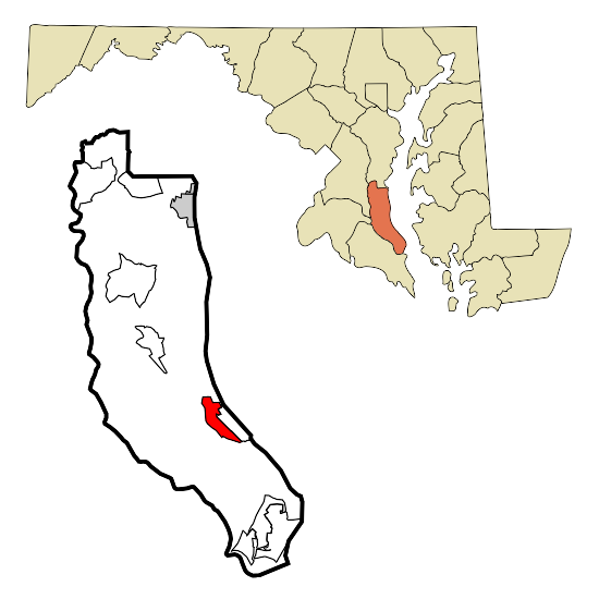
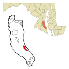
This map shows the incorporated and unincorporated areas in Calvert County, Maryland, highlighting St. Leonard in red. It was created with a custom script with US Census Bureau data and modified with Inkscape. From wikipedia.
File history
Click on a date/time to view the file as it appeared at that time.
| Date/Time | Thumbnail | Dimensions | User | Comment | |
|---|---|---|---|---|---|
| current | 03:44, 23 December 2008 | | 550 × 550 (71 KB) | Admin (talk | contribs) | This map shows the incorporated and unincorporated areas in Calvert County, Maryland, highlighting St. Leonard in red. It was created with a custom script with US Census Bureau data and modified with Inkscape. From wikipedia. |
- You cannot overwrite this file.
File usage
There are no pages that use this file.